What is active transportation?
Active transportation is how we get around our region using human powered transportation, like walking, biking, running, using a wheelchair, and other non-vehicle modes. The Greater Buffalo Niagara Regional Transportation Council (GBNRTC) is committed to the goals established in the Long-Range Transportation Plan to improve infrastructure for pedestrians, bicyclists, and other non-vehicle modes of transportation. Learn more about GBNRTC’s past, present, and future active mobility work below.
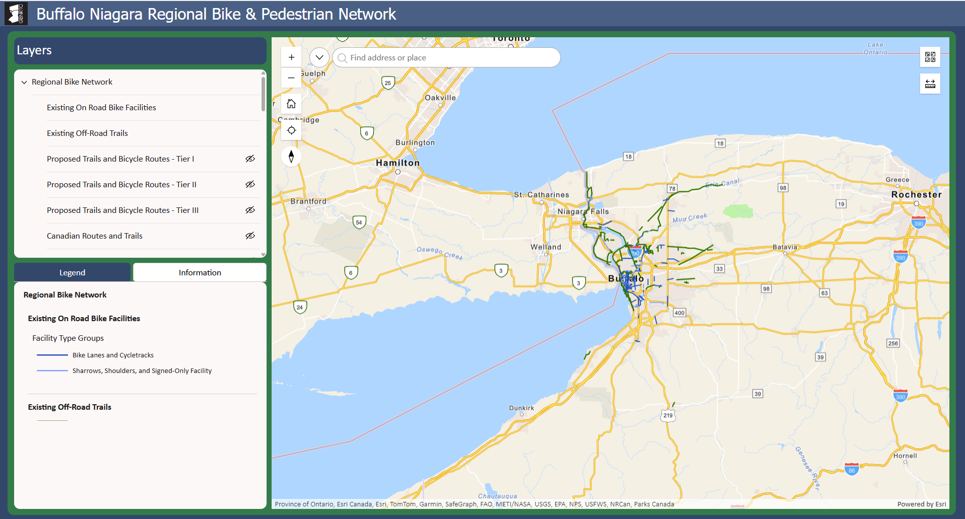
GBNRTC Regional Active Transportation Map
This web page contains a link to the updated Regional Active Transportation map in ArcGIS Online. Please click on the image and navigate through the map to view the updated and new information about Buffalo Niagara's bike and pedestrian network, including facilities, amenities, destinations, bike & ped crashes, bike & ped counts and trip estimates, and more.
Resources
Regional Bike Network Map
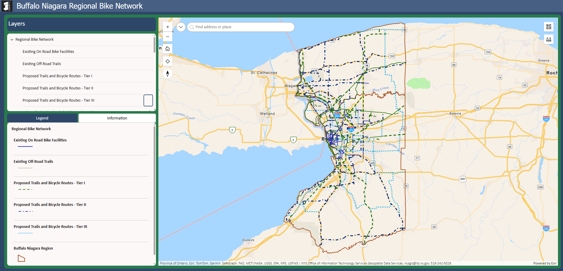
Explore Buffalo Niagara’s bike network with this interactive map. View existing on- and off-road bicycle infrastructure, proposed bike infrastructure from the Regional Bike Master Plan, and other bike related information such as destinations, bike racks, bike and pedestrian counts, and more.
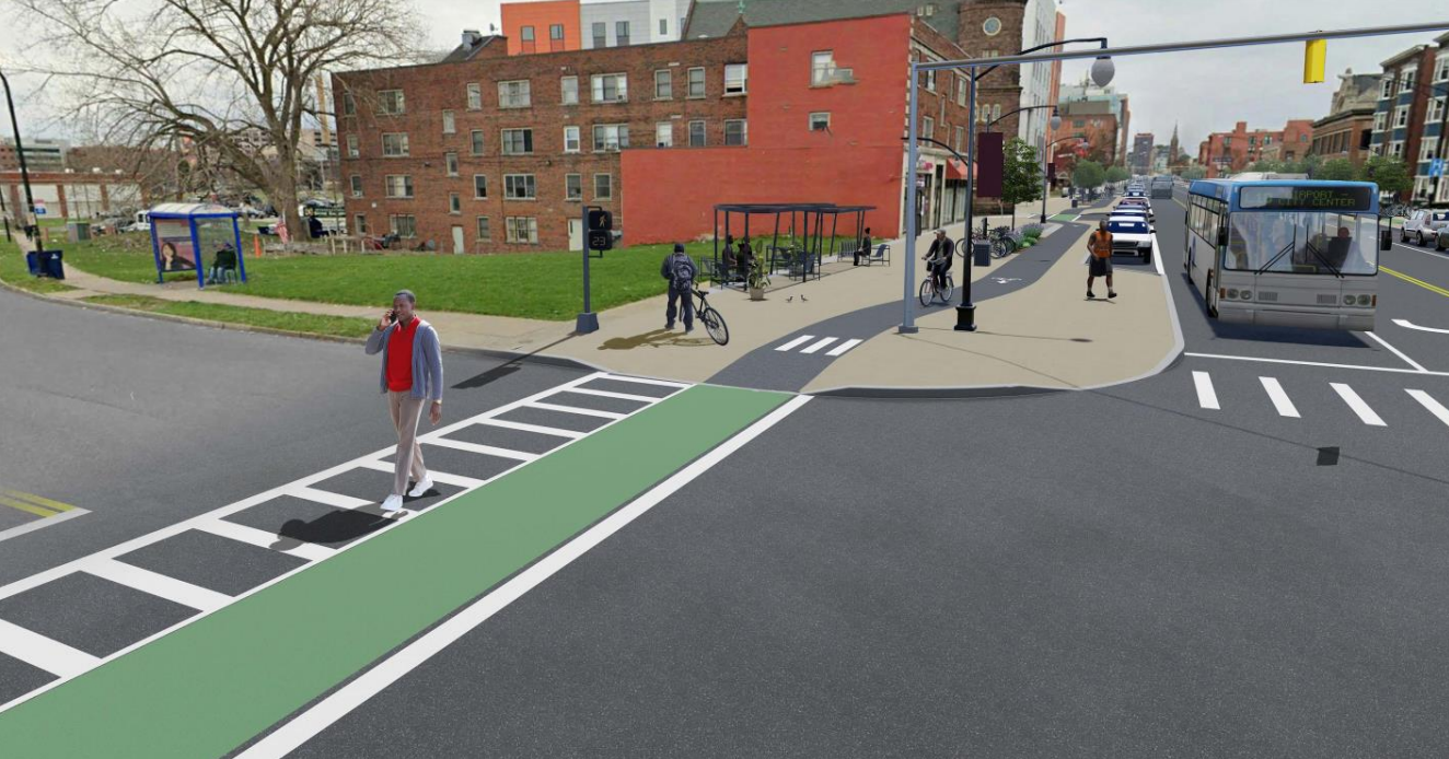
Bike Buffalo Niagara: The Regional Bike Master Plan
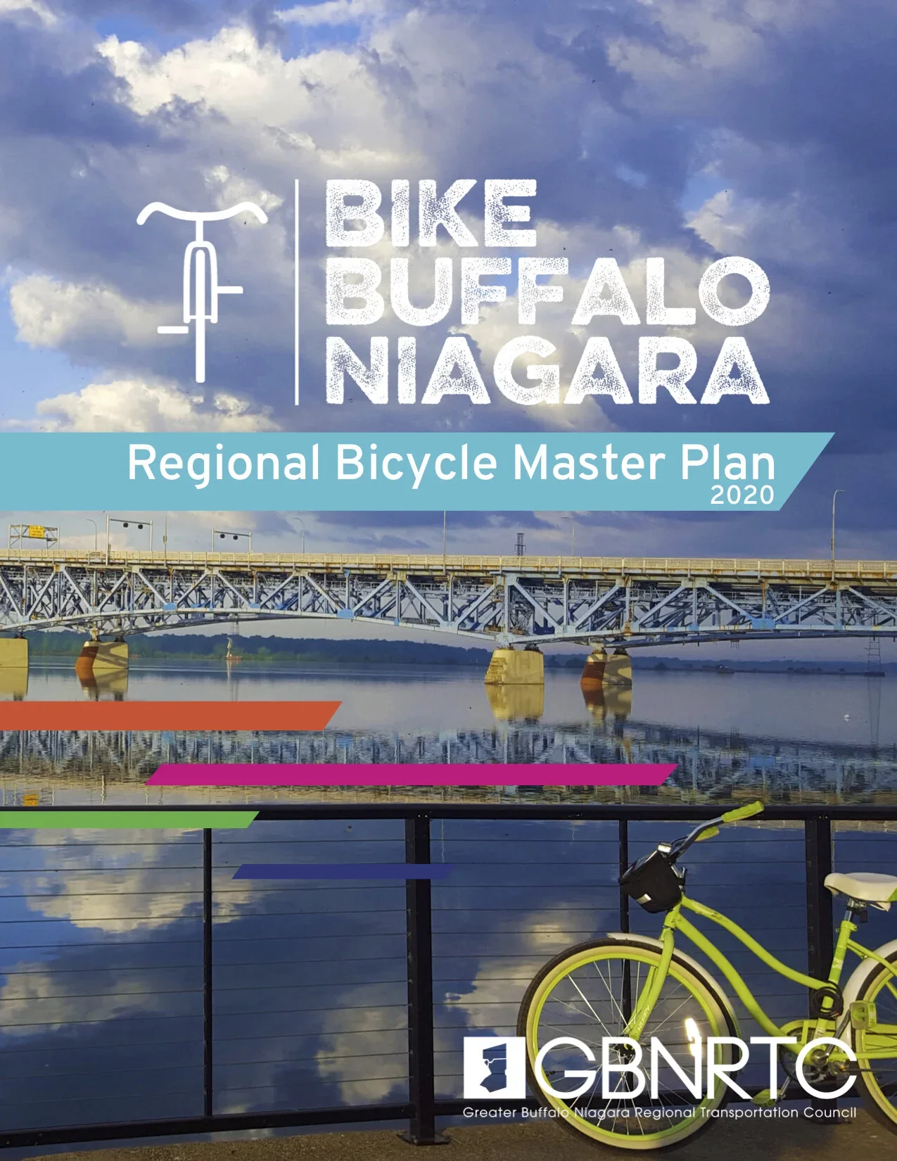
GBNRTC and its partners have developed a regional bicycle plan for Erie and Niagara Counties. The Bike Buffalo Niagara initiative will help create more bike-able communities in our region. The Plan includes goals and objectives; an inventory of existing conditions; community input to identify desirable routes; priority corridors to close gaps in the network; and design guidelines that support bicycling as a safe, comfortable, and healthy form of transportation, recreation and physical activity
Related Plans and Projects
Active transportation planning is happening all over the region, from the local to state level. Take a look at some of the major planning work completed in the last ten years that aims to advance a safer, more connected multimodal network in Buffalo Niagara.
Funding for Active Transportation
Funding for active transportation projects vary across state, federal, and private philanthropy in Buffalo Niagara. The sources listed below are some of the major sources of funding for projects that include trails, pedestrian and bike facilities, accessibility enhancements, and placemaking that enhances the experience of people who get around without a vehicle. Typically, local municipalities also contribute funding to active transportation projects as a supplement or match to funding secured through the sources below. Note that the list is not exhaustive and may be subject to change.
New York State
Federal
Philanthropy and Non-Profits
Ongoing Projects
GBNRTC is committed to carrying out the vision outlined in the Regional Bike Master Plan by providing municipalities with technical support to carry out feasibility studies for priority projects identified in the plan. The projects below include feasibility studies currently underway and recently established ongoing annual projects that serve the goals of the Regional Bike Master Plan.
Bike and Pedestrian Counts
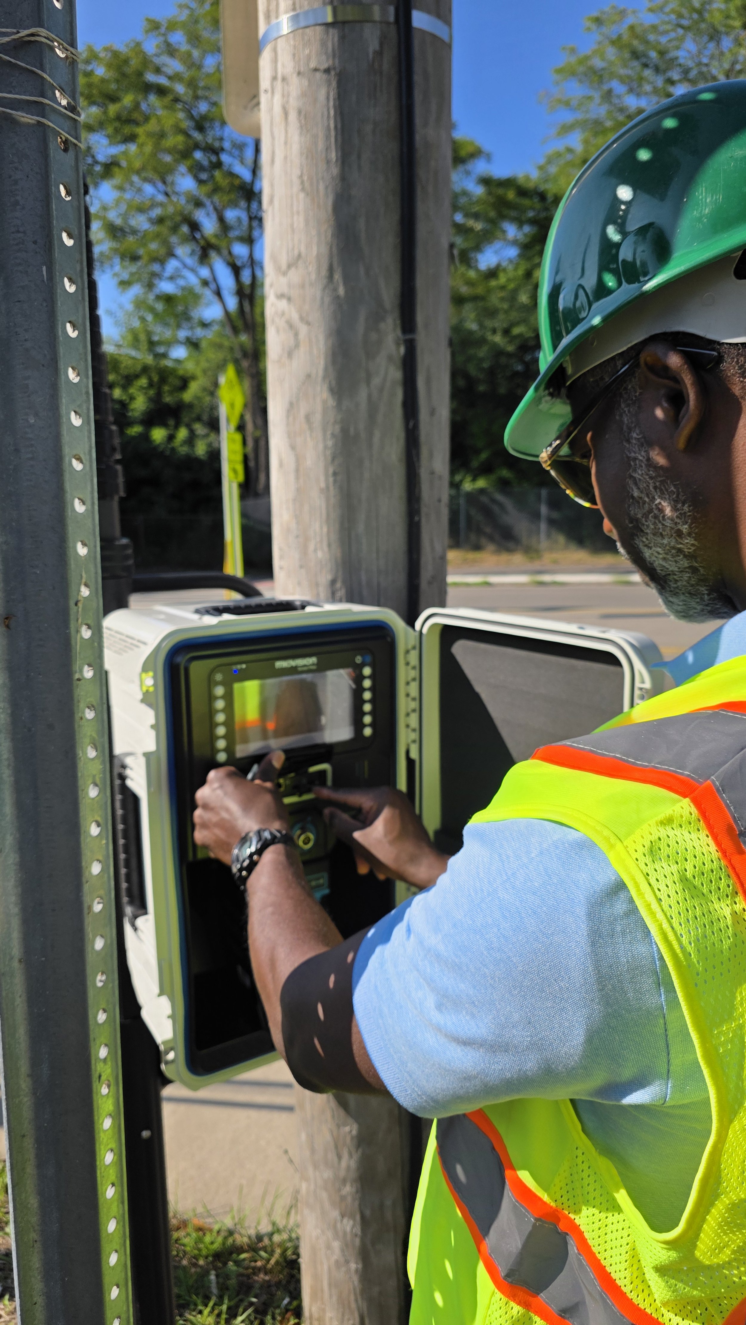
GBNRTC piloted a bike and pedestrian count program at a small selection of locations on regional trails during summer 2025. Using temporary placements of MioVision equipment, the number of pedestrians and cyclists using the trail was collected over a 14-hour period. In future years, more locations will be counted and longer counts will be conducted to enable better estimates of annual daily volumes at each location. To view 2025 counts, please visit the interactive Regional Bike Network map.
Northtowns Community Trails Study
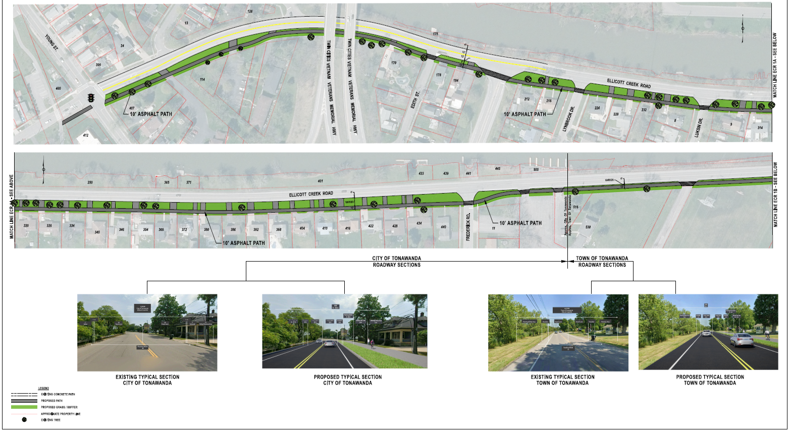
The Northtown Community Trails Project proposes a network of bikeways linking the Town of Tonawanda, the Town of Amherst, and the Village of Williamsville. A key feature of the project is a new bikeway along Parker Boulevard, offering a safer, lower-traffic alternative to the heavily traveled Niagara Falls Boulevard. This bikeway would link the existing Tonawanda Trail with Ellicott Creek by way of the newly completed Parker Boulevard Complete Street initiative.
Eighteen Mile Creek Greenway Concept Development
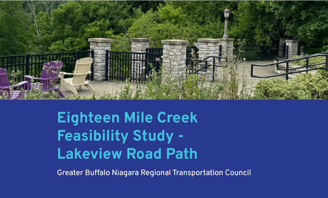
The Greater Buffalo-Niagara Regional Transportation Council (GBNRTC), in partnership with the Town of Hamburg, is conducting a feasibility study for a proposed off-road, multi-use path along Lakeview Road. This corridor was identified as a priority route in the Bike Buffalo Niagara: Regional Bike Master Plan (2020). The proposed Eighteen Mile Creek – Lakeview Road Path would provide a safe, family-friendly alternative to cycling on busy roads, connecting residential neighborhoods with recreational destinations and the Village center.
Trail Conditions Assessment
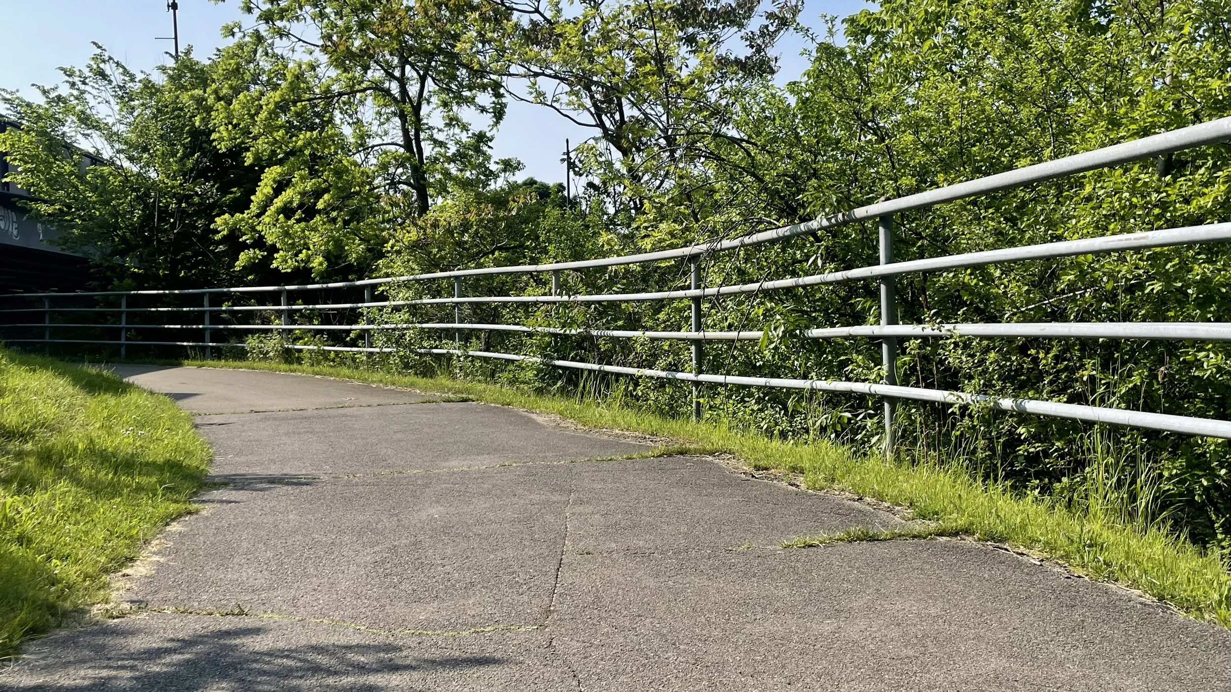
In summer 2025, GBNRTC conducted an in-person assessment of trail surface conditions on select regionally significant trails, primarily on the Empire State and Shoreline Trails. Until now, no region-wide effort has been made to inventory the trail network to identify surface conditions, similar to the way roadways are scored. This analysis will enable better decision-making about where and when maintenance investments need to be made to improve the existing trail network.
Upcoming Projects
Regional Active Transportation Plan (FY 2026-27)
Rather than updating the Regional Bike Master Plan, which was completed in 2020, the Regional Active Transportation Plan will incorporate both pedestrian and bicycle infrastructure into one comprehensive study focused on enhancing non-automotive transportation in the region including micromobility, wheelchair users, pedestrians, and bicyclists. Stay tuned for more information as the project gets underway in 2026.
Long-Range Transportation Plan (FY 2026-28)
As the Metropolitan Planning Organization for Erie and Niagara Counties, GBNRTC is required to conduct a continuing, cooperative, and comprehensive transportation planning process, with at least a 20-year horizon, that results in producing a Long-Range Transportation Plan (LRTP).
The LRTP is a long-range planning document that identifies transportation needs, policies, strategies, and infrastructure projects and programs over the next two decades. It is updated on a five-year cycle.
The GBNRTC coordinates the development of the LRTP with communities and residents throughout Erie and Niagara Counties and with other local, state, and federal agencies. The LRTP makes the GBNRTC Planning Area (Erie and Niagara Counties) eligible to receive a large amount of federal transportation funding to improve, maintain, and operate highways, public transit, bikeways, sidewalks, and related facilities.
Past Projects
Cheektowaga Trails Feasibility Study (2023)
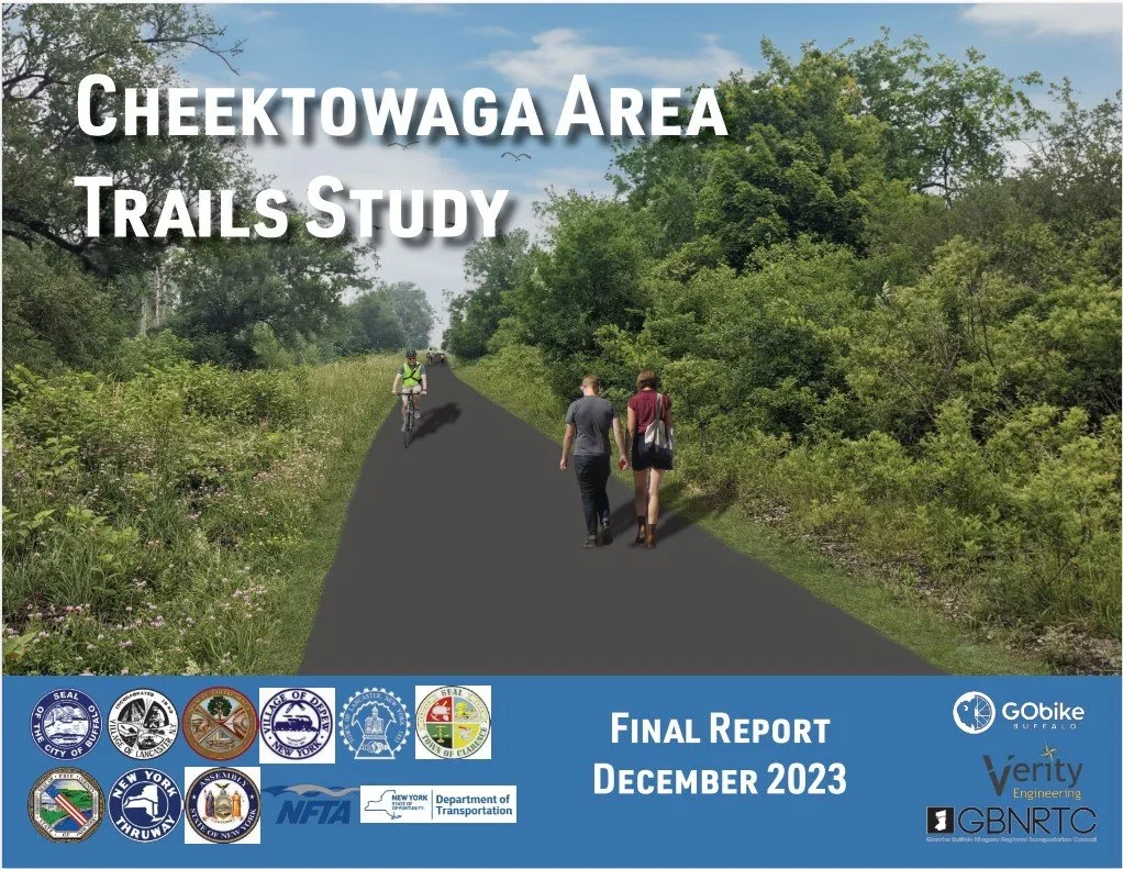
This study explored the feasibility of three separate trails that would fill in gaps in the existing trail network in Cheektowaga, Depew, Buffalo, and Clarence. These include the Lancaster Heritage Trail Extension, Lehigh Valley Trail Extension, and the Scajaquada Creek Trail extension. Community engagement identified that the trails have public support, and the plan established cost estimates for engineering, design, and construction.
Peanut Line Feasibility Study (2024)
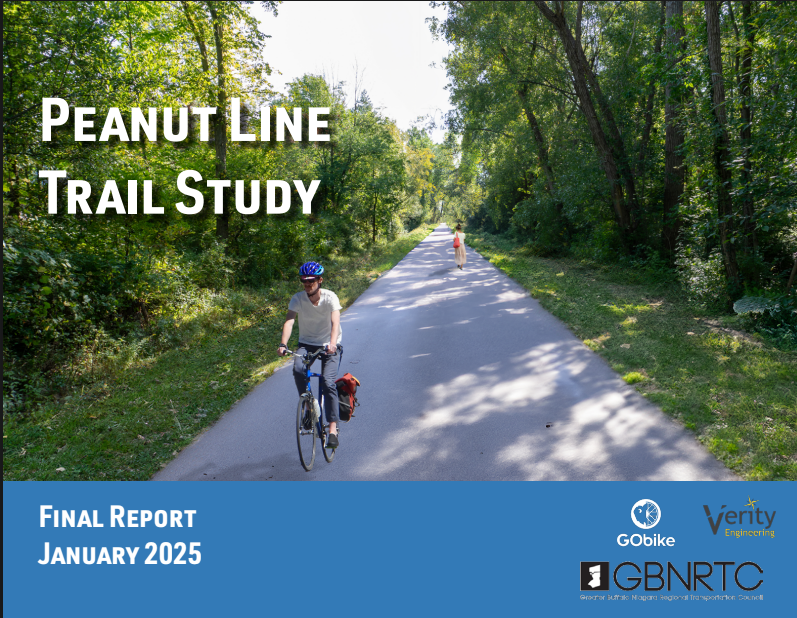
The Peanut Line in the Town of Amherst is a former railroad corridor now owned by the Town and designated as Open Space. Although it’s been used by residents for recreation, and it is maintained as a utility corridor, the study examined the feasibility of formalizing the corridor to improve access and safety, while connecting it to the Clarence Pathways (east) and the Ellicott Creek Trail (west). The study found community support for a paved trail and improved crossing treatments at roadways, and outlined a path to securing funding for further engineering to address concerns about flooding and privacy from nearby property owners.
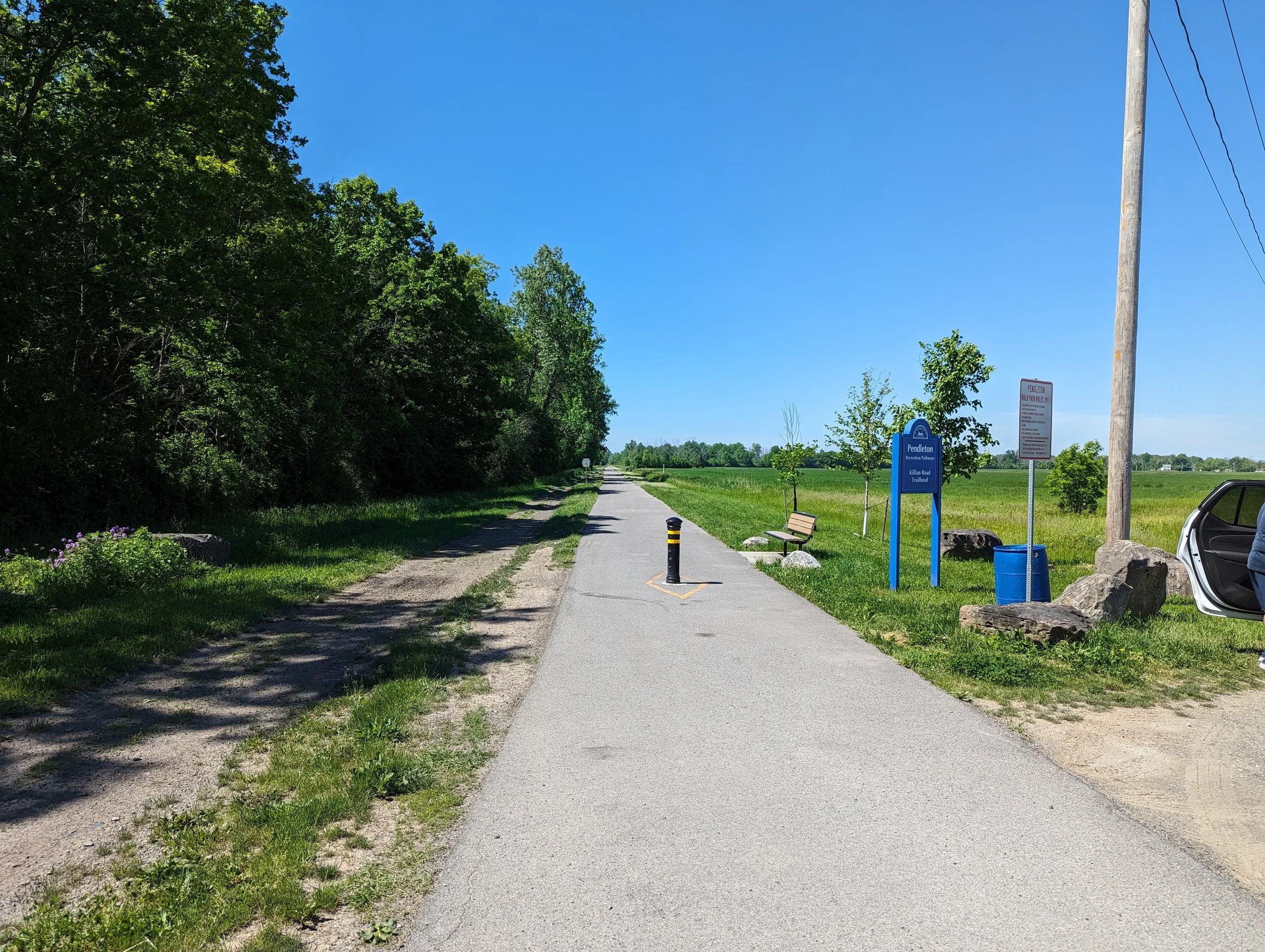
Niagara Communities Joint Trail Study (2024)
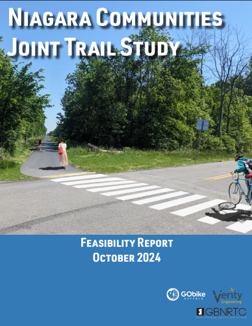
Niagara County, the Towns of Lockport, Pendleton, and Wheatfield, and the Cities of North Tonawanda and Lockport collectively reached out to GBNRTC for support in establishing feasibility for connecting the missing pieces of a trail corridor that would run from North Tonawanda to Lockport. This study examined alternative routes and identified a preferred alternative through stakeholder and community engagement, as well as an analysis of existing conditions. The study also outlined potential costs for engineering, design, and construction and made recommendations for facility types, amenities, and trailheads.
Stay in the Loop
Want to get updates about our active transportation projects? Sign up with your email address below to stay informed about our ongoing and future planning work.